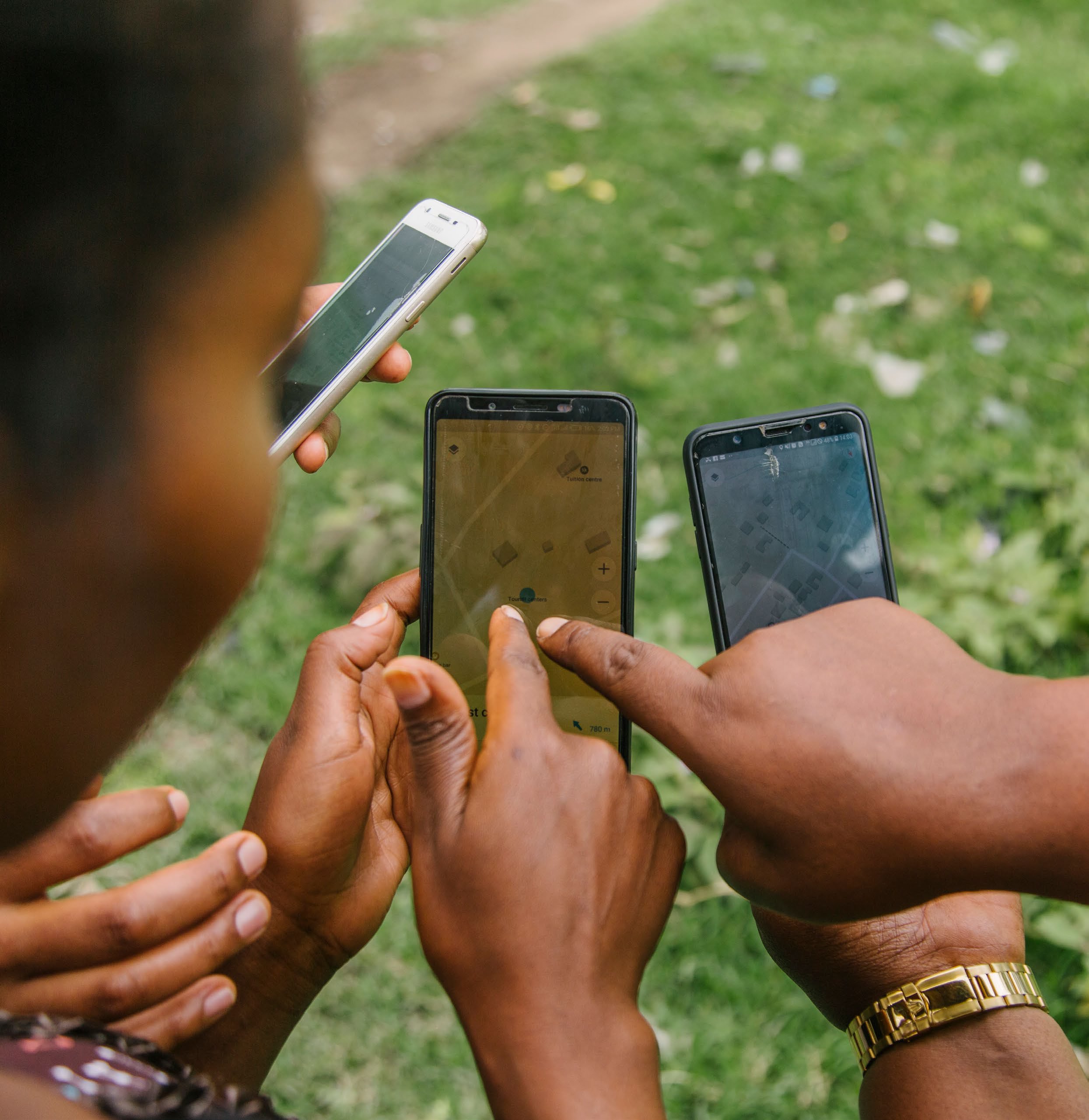
Around the world, increasing access to mobile technologies is making it easier to gather information about people’s lives and livelihoods, allowing it to inform development and humanitarian activities. Mobile surveys have a real advantage in tracking resilience and post-disaster recovery: they offer safer, cheaper and better ways of remotely contacting individuals, often in near-real-time. They can also make it much easier to reach people who are on the move, such as pastoral communities or those fleeing a shock-event.
Consequently, there has been a rise in studies dealing with the methodological and logistical questions facing this new form of applied social research. In this how-to guide, we highlight the advantages and opportunities. We base our insights on our first-hand experiences from the Building Resilience and Adaptation to Climate Extremes and Disasters (BRACED) programme – which ran a high-frequency mobile phone survey in Myanmar between 2017 and 2019 – as well as our review of the wider literature from recent large-scale mobile phone surveys.
In particular, we cover the following:
- what to consider before setting-up a phone survey
- options for how it can be conducted
- how to tailor phone surveys to tracking resilience or post-disaster recovery
- tips and tricks for successful delivery.
Recognising the growing political interest in resilience-building, we target our guide specifically at those monitoring and evaluating resilience outcomes (either for their own projects or those of others). Above all, we hope this guide will help development and humanitarian actors to decide whether mobile phone surveys could be of use to them and inspire them to carry out, document and share their experiences in conducting remote surveys.